Barangay digital twin project explained

The Barangay Digital Twin Project developed digital representations of the 129 barangays based on audit and mapping of their existing structures and remaining natural covers.
It provided the city with data on land cover, building occupancy, density, climate and disaster risk assessment, recreation of the city’s replica for simulation, dynamic monitoring, real-time diagnosis and accurate prediction of the city and the barangays’ state.
The audit and mapping out of existing structures and remaining natural covers helps ascertain whether or not the barangays have exceeded their respective carrying capacity.
The data utilized came from the City Buildings and Architecture Office, City Assessor’s Office, City Engineering Office, City Environment and Parks Management Office and the City Planning Development and Sustainability Office.
Initial outputs of the Barangay Digital Twin Project along with the Barangay Livability Index which measures the livability statures of the barangays and the Climate and Disaster Risk Assessment (CDRA) which identifies climate and disaster-related risks in the barangays were used as basis in the formulation of the land use plans of the different barangays.
The data provided served as guide in mapping the physical and economic development of the barangays for inclusion in the city’s Comprehensive Land Use Development Plan (CLUP) 2024-2032 which charts the physical and economic development of the city and the barangays for the next eight years and the Comprehensive Development Plan (CDP) 2023-2028 which contains the programs, projects and activities (PPAs) of the city in the next five years.
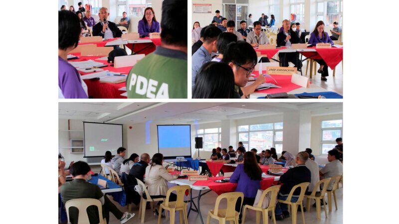
Mayor Benjamin Magalong and CPDSO Coordinator Donna Tabangin said these tools are crucial in determining the plans, programs and activities necessary for these barangays to become not only livable but also inclusive, creative, sustainable and resilient as the city’s proposed new vision aspires.
“We want to make sure that all land use plans of the barangays contained in the CLUP as basis for their development programs are geared towards improving the physical and economic statures of the barangays,” the mayor said.
He said the updating of the CLUP and the CDP along with the operationalization of the city’s newly framed vision “Baguio 2043 – A Creative, Inclusive and Livable City” were all synchronized to achieve the ultimate goal of raising the city’s carrying capacity, stunting urban decay and making the city sustainable, innovative and resilient and able to manage its resources, population and tourism industry and cope with climate-induced disasters. – Aileen P. Refuerzo