After two years of non-stop consultations, land use plan now on final stages of completion

After two years of continuous community consultations, the city’s Comprehensive Land Use Plan (CLUP) 2024-2032 which charts the city’s physical and economic development for the next eight years is now in its final stage of completion.
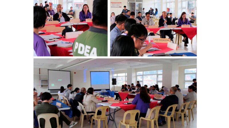
Mayor Benjamin Magalong and City Planning, Development and Sustainability Office Coordinator Arch. Donna Tabangin said the CLUP will be presented for approval during the next meeting of the multi-sectoral City Development Council which is a mandatory body responsible for the formulation, management and monitoring of development plans and public investment programs of the city government. It is composed of the 128 punong barangays and 43 civil society organizations representing the various sectors and stakeholders.
The mayor said the updating of the CLUP and the equally critical Comprehensive Development Plan (CDP) 2023-2028 along with the operationalization of the city’s newly framed vision ““Baguio 2043 – A Creative, Inclusive and Livable City” were all synchronized to achieve the ultimate goal of raising the city’s carrying capacity and stunt urban decay and making the city sustainable, innovative and resilient and able to manage its resources, population and tourism industry and cope with climate-induced disasters.
After approval by the CDC, the CLUP will be endorsed for consideration of the city council and later by the Dept. of Human Settlement and Urban Development.
The CDP 2023-2028 which contains the various programs, projects and activities (PPAs of the city government in the next five years on the other hand has been approved by the CDC and is up for submission to the city council.
The public consultations for said plans began in July 2022 spearheaded by the City Planning, Sustainability and Development Office (CPSDO).
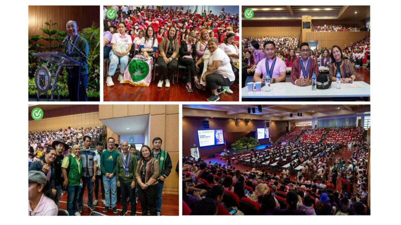
Tabangin said they made sure that the consultation process was done extensively because this stage is crucial to generate inputs on the barangay’s challenges, potentials and future development needs from the residents themselves.
During consultations, the CPDSO made sure that the attendees were informed of the issues affecting their barangays to help them decide on the developmental goals and directions.
To prepare them for the consultations, the participants were introduced to the concept of carrying capacity and were presented with facts on the current state of their barangays based on the data gathered through the digital twin program and how they can become livable communities.
The inputs from the public consultations were considered in the drafting of the updated CLUP.
Also considered were the analytics from the data culled from the Community-Based Monitoring System (CBMS), the Digital Twin project and the seismic stratigraphy or zoning of the barangays which play significant roles in simulation, planning and risk reduction management through the established urban patterns, trends and correlations.
The CBMS which was piloted in the city in 2021 is a grassroots and technology-based collection, processing, validating and assessment and diagnostic tool of barangay data. It provided the city with data on crime victimization, health, entrepreneurial and household sustenance activities, demographic characteristics, water, sanitation and hygiene, climate change and disaster risk management, agriculture and fishery activities, food consumption expenditure, e-commerce and digital economy, social protection programs, education and literacy, financial inclusion, migration, community and political participation, food security and family income.
The Digital Twin project developed digital representations of the 129 barangays based on audit and mapping of their existing structures and remaining natural covers.
It provided the city with data on land cover, building occupancy, density, climate and disaster risk assessment, recreation of the city’s replica for simulation, dynamic monitoring, real-time diagnosis and accurate prediction of the city and the barangays’ state.
The seismic stratigraphy research of the city’s barangays started last year and was based on the 2021 research of the Dept. of Science and Technology-Philippine Institute of Volcanology and Seismology (DOST-PhilVolcs) together with the University of the Cordilleras, St. Louis University, University of Baguio and the Philippine Institute of Civil Engineers Baguio Chapter.
The results of the research when overlaid with the CBMS data and the spatial infrastructure analytics of the barangay digital twin project would provide guides on handling earthquake scenarios. – Aileen P. Refuerzo


