Road right-of-way recovery on

With technology and manpower, the city recovers up to 7 meters and more, along several roadsides which translates to sidewalks for pedestrians and wider road area for motorists.
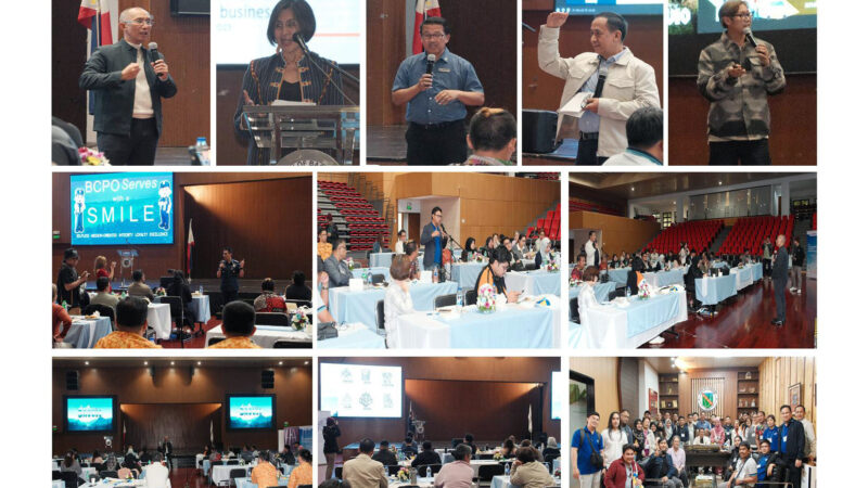
This was reported by City Engineers Office (CEO) traffic and transport management division head Engr. Januario Borillo during the city hall executives’ management committee meeting recently.
According to Borillo, the undertaking is in line with the city’s program on road right of way (RROW) recovery.
With Geographic Information System (GIS) maps; roads along Ferguson, Dominican, Camp 8, M. Roxas and Greenwater barangays were measured and owners of structures discovered to be stradling the area were informed of their violation. Some structures were scheduled for demolition while some owners willingly dismantled portions of their buildings encroached on the road.
The owner of a shop, a fence, a construction company’s trucks and other building materials was also informed of their encroachment of a road space.
A barangay hall constructed in 1994 within a road space may also be relocated in the same area, it was known.
Pending clearing of several encroached structures in a wide area, a roadside gutter and a spacious sidewalk may also be constructed in a recovered area in Dominican barangay, Borillo reported. Dwelling places and an eatery also need to be demolished, for sidewalks and wider roads.
Borillo also reported that the CEO personnel have cleared several roads for additional space for sidewalks in business areas along the Central Business District (CBD). Some electric posts need to be relocated in the process.
Other roads shall be inspected for the same purpose, as with the creek easement project. A report on other engineering projects is forthcoming, Borillo assured the executives.
Mayor Benjamin Magalong and City Administrator Bonifacio de la Pena expressed approval over the ongoing undertaking.
GIS is a system that creates, manages, analyzes and maps data, integrating location with descriptive information including measurements, thus is used in engineering and science, and as basis in management and decision-making. It is used in mapping an area, revealing structures which are present within areas of concern. – Julie G. Fianza


