Agencies bat for earthquake resilient buildings in Baguio

The Department of Science and Te4chnology (DOST) and the Philippine Institute of Volcanology and Seismology (PHILVOCS) are pushing for the construction of earthquake resilient structures in the city following the recent launching of the Baguio city Ground Shaking Hazard Maps (BCGSHM).
The said compilation of maps that provide information on the levels of ground motion and site response during the occurrence of strong earthquakes based on the characteristics of the underlying ground soil and rock layers and the effects of specific topography, in this case, mountainous terrain such as the city.
The maps will serve as a significant reference for structural engineers in designing and constructing earthquake resilient buildings and infrastructures in the city to be able to withstand the strong ground movement caused by earthquakes in the future.
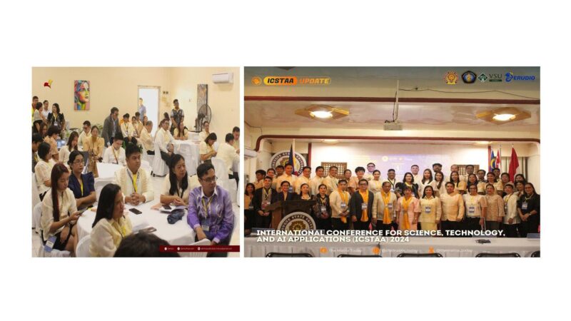
DOST and PHILVOCS technical personnel provided experts with the said maps to allow them to interpret the data that have been made available, identify ground conditions on-site using the publication and estimate the natural vibration of buildings to determine the existing structures that might be vulnerable to intensed ground shaking.
Further, the agencies want to ensure that the stakeholders will effectively use the maps in comprehensive land use and development planning and earthquake risk reduction efforts to prevent loss of lives and inflict damage to properties.
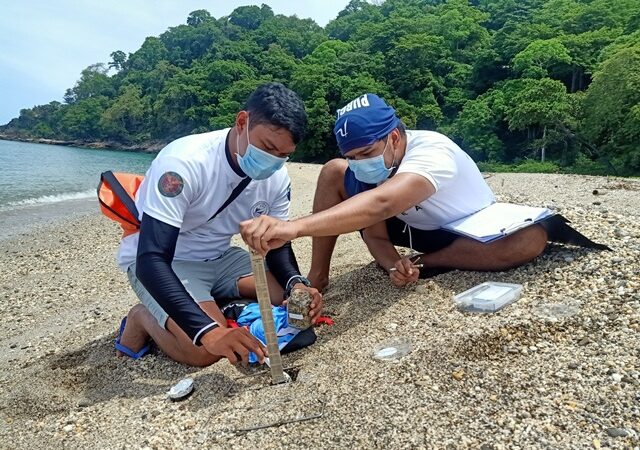
BCGSHM is one of the outputs of the Passive Seismic Stratigraphy of Irregular Topography (PSSIT) applicable to mountainous areas of the city project funded by the DOST.
DOST-CAR regional director Dr. Nancy Bantog disclosed that the said project is considered as a significant milestone for being the country’s pilot study on seismic investigation of sub-surface properties using methodologies that are applicable to the mountainous terrain of the city.
With the city’s rapid urbanization, she claimed that there has been an increasing rate in the development of buildings and structures.
According to her, due to the unique features of the city, specifically the irregularities in the topography, all the more that it calls for a need for site specific investigation and mapping of seismic site effects in the area that are critical for existing residential and medium to high rise buildings as well as future development plans.
The DOST-CAR official underscored that considering further the impact of the July 16, 1990 earthquake, the said ground shaking maps as a result of the research can also help the local government to gain additional information on how to deal with and help mitigate the risk of future earthquakes as well as advise stakeholders on the parameters to consider in building designs, making them more prepared at least in terms of early warning, land use planning, building structures and risk assessment in the city.
The DOST is looking forward to the hazard maps being used or translated in the city’s policies and integrated in the city’s land use plan, development plan and all other plans where it is needed. – Dexter A. See


